What’s in a name?

There’s a spot in Kingston just west of Exit 9 on Route 3, elevation about 68 feet, which has been long known as Thomas’ Hill.
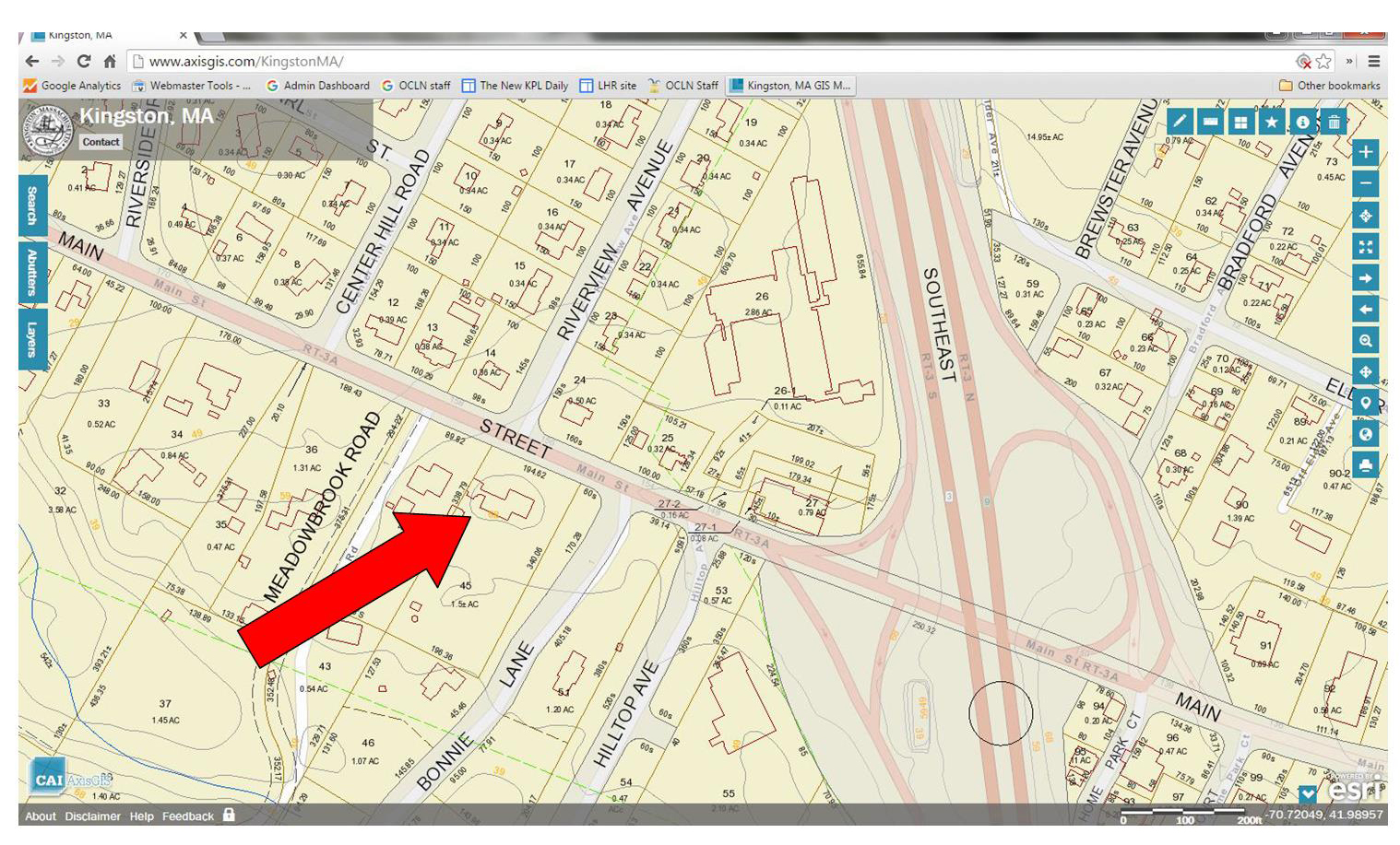
Area around Thomas' Hill from Kingston GIS, 2016
Area around Thomas’ Hill from Kingston GIS, 2016

[This screen shot is from the Town’s GIS, which is just amazing. Give it a try!]

In her 1933 description of Kingston place names, Emily Fuller Drew tells us that

Colonel Thomas’ Hill is located from the Great Bridge up the slope, going south of the River. This hill was named for the Thomas family whose home was located on the hill.

That’s this house.
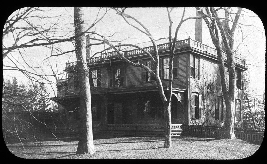
John Thomas House, Thomas Hill, 156 Main Street, circa 1900

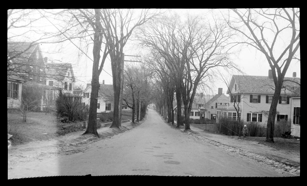
Here’s a view south, up the hill towards the Thomas House, taken from a spot just before the Great Bridge over the Jones River.
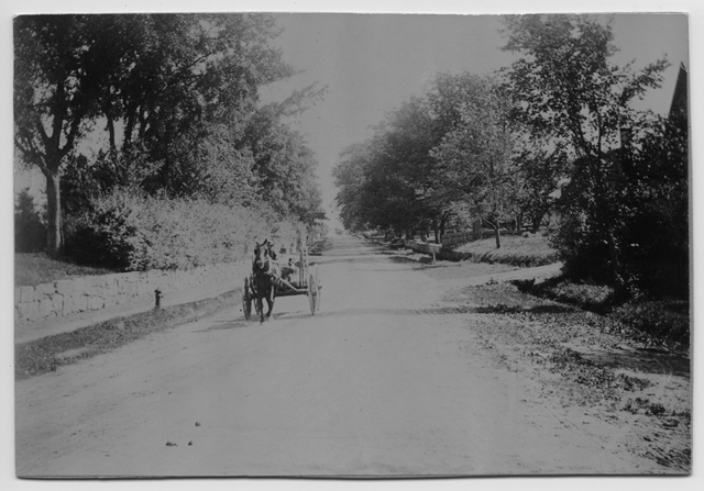
Main Street, looking south up Thomas' Hill, circa 1900
Main Street, looking south up Thomas’ Hill, circa 1900

And here are a couple of views looking the opposite way down the hill.
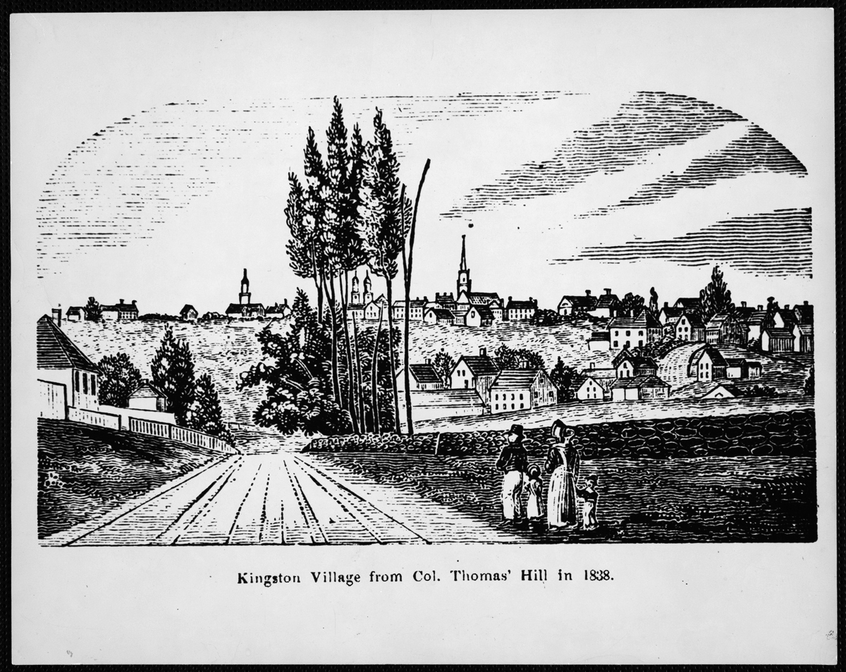
Kingston Village from Col. Thomas' Hill in 1838, reproduced 1975
Kingston Village from Col. Thomas’ Hill in 1838, reproduced 1975

[This wood cut is from this book, originally published in 1839.]
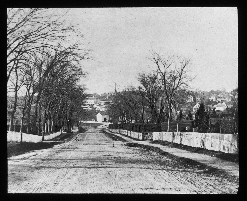
 

Main Street, looking north down Thomas' Hill, 1876
Main Street, looking north down Thomas’ Hill, 1876

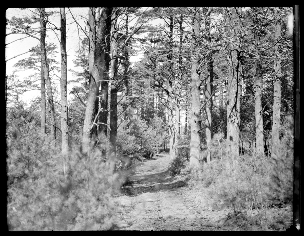
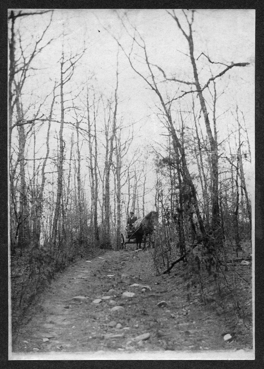
And here’s one of indeterminate direction, but with a nice shady feel to it.
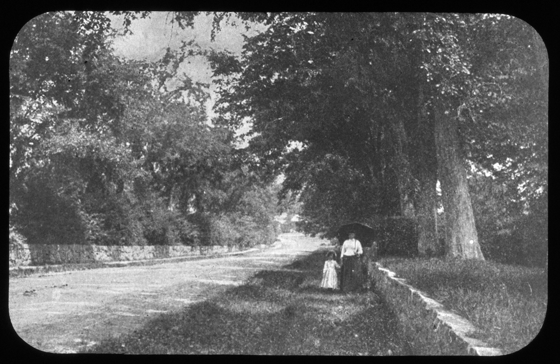
Strolling on Thomas' Hill, 1890
Strolling on Thomas’ Hill, 1890


These images all bear the description “Thomas’ Hill,” because that’s what’s it’s been called for quite some time.  Now, though, there’s a need to update our shared geographical vocabulary. There’s a whole group of Kingstonians with a completely different point of reference, for whom this area doesn’t relate at all to an 18th century Kingston family or their stately home atop the hill.

Let the historical record now reflect the vernacular alternative: “HoJo Hill.”
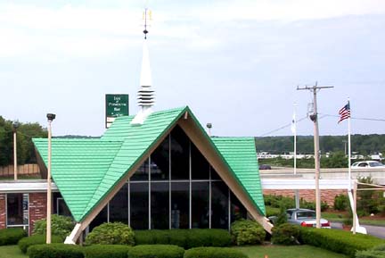
 

Kingston-Plymouth Howard Johnson's. Photograph courtesy of Dan Holbrook 2003, via highwayhost.org
Kingston-Plymouth Howard Johnson’s. Photograph courtesy of Dan Holbrook 2003, via highwayhost.org

Here’s more.


Source: Jones River Village Historical Society Lantern Slides IC4; LHR Image Collection IC7; Mitchell Toabe Papers MC18; and highwayhost.org.

For more, visit the Kingston Public Library, and the Local History Room, and the full blog at piqueoftheweek.wordpress.com.
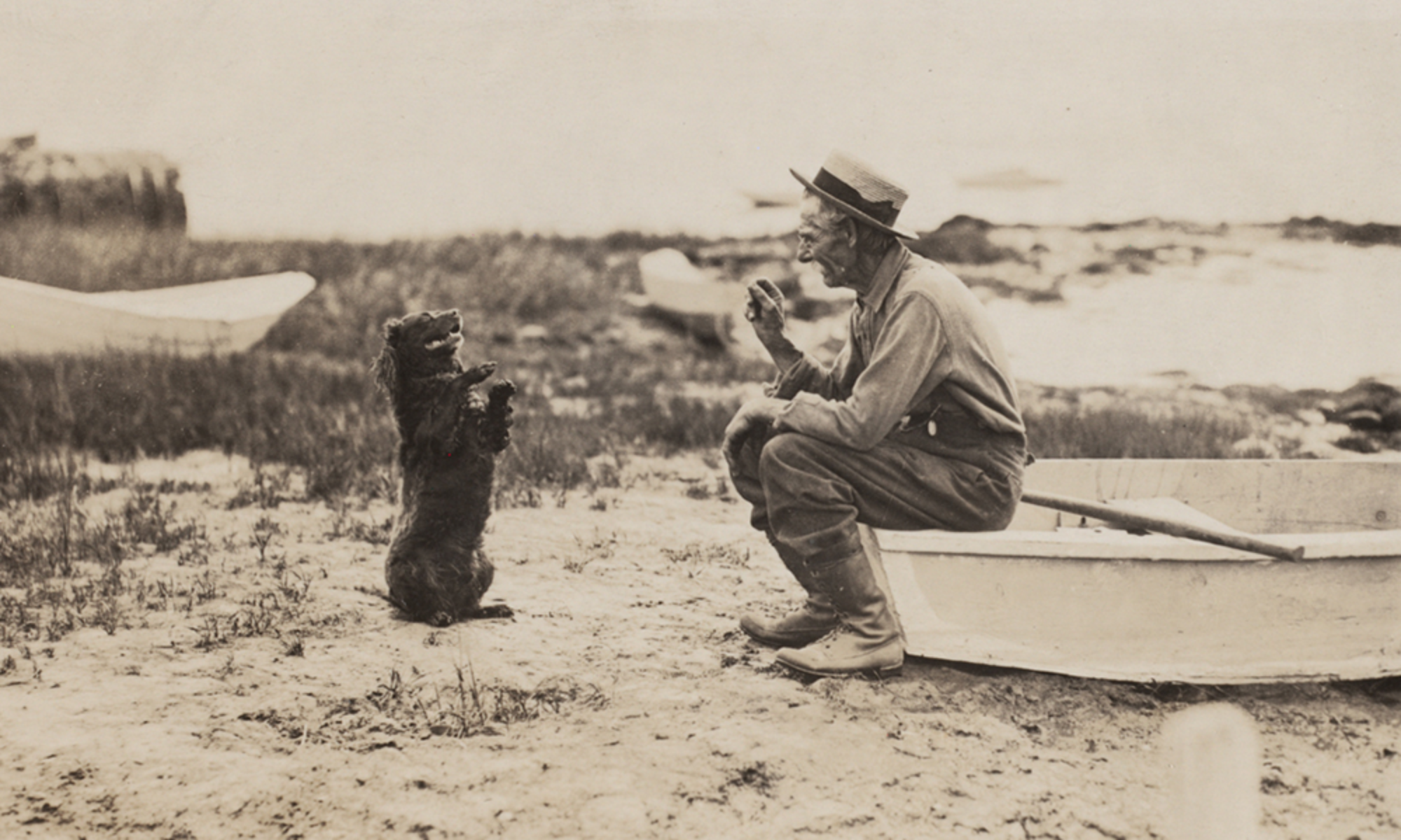
 

Photobombing is not a new thing

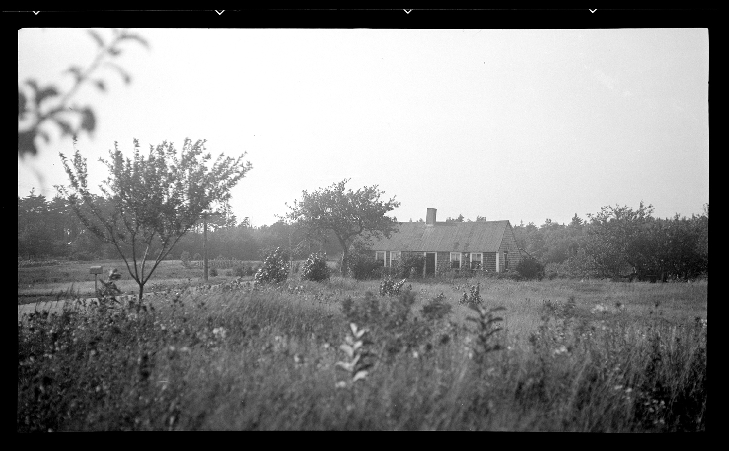
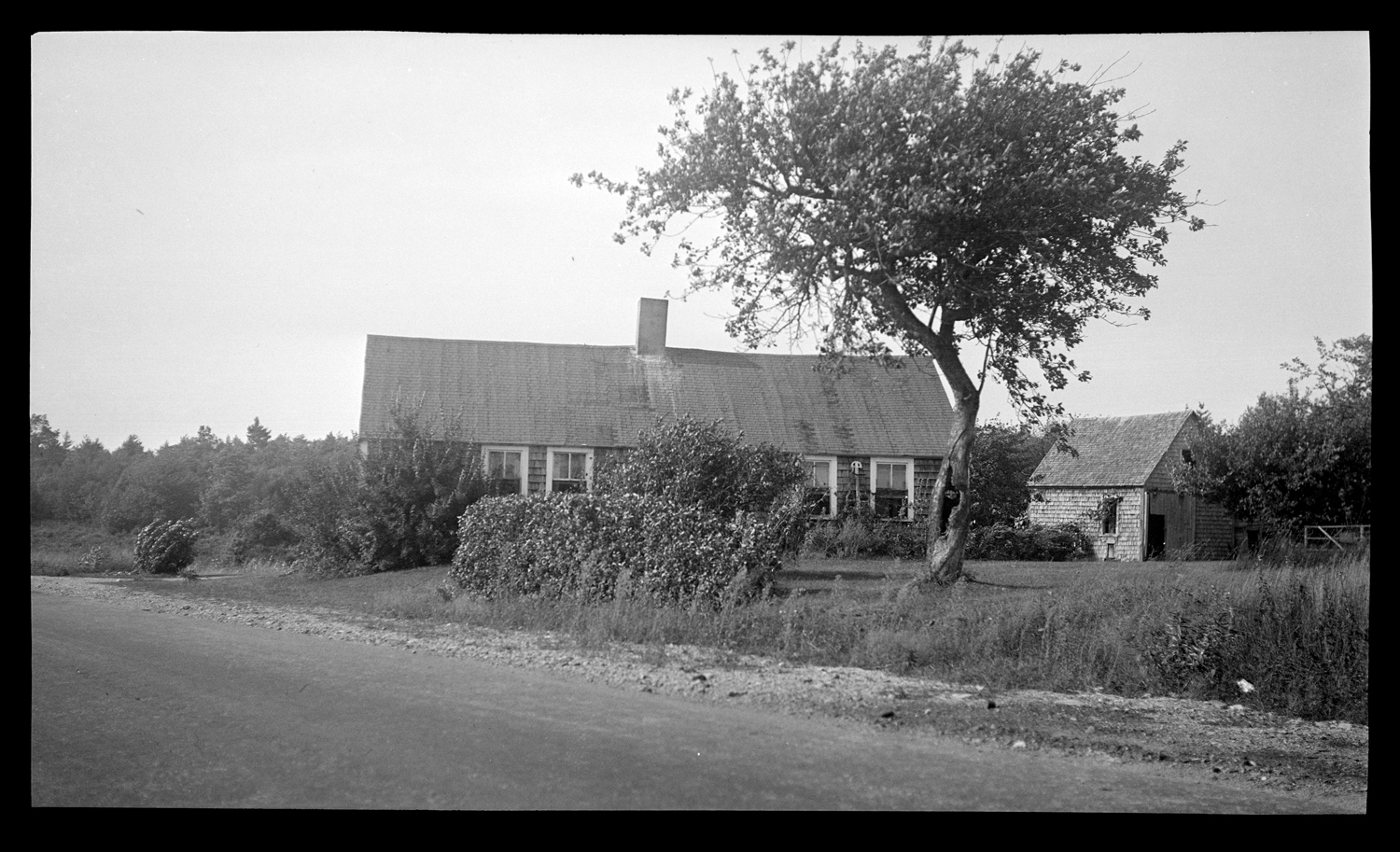
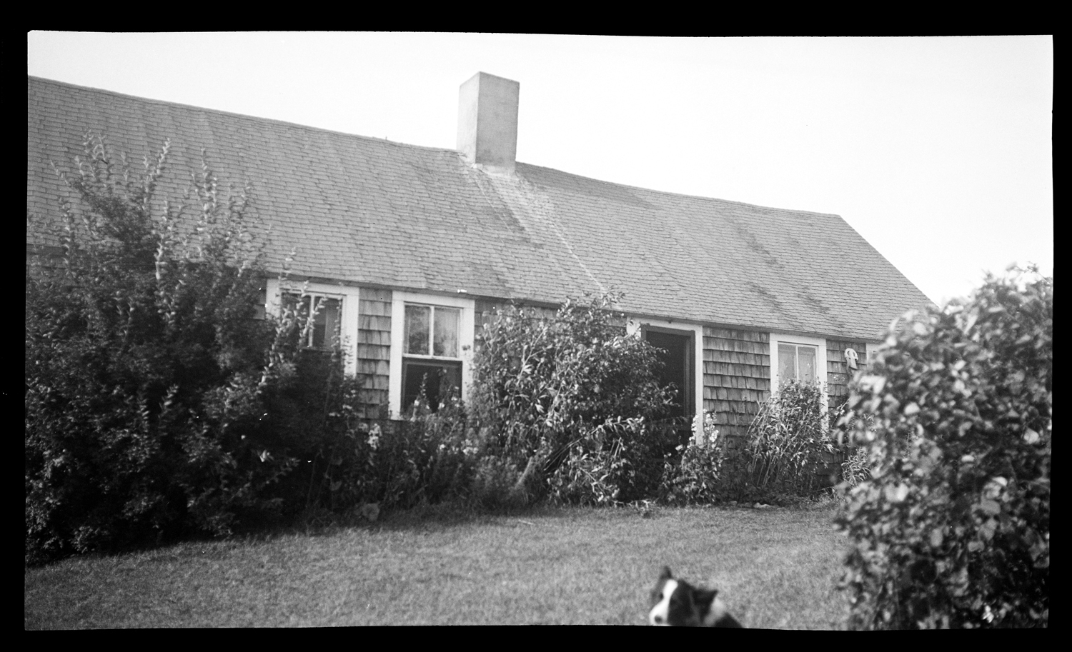
Lucas House, 159 Pembroke Street, August 1935.

One August in the middle of the 1930s, Emily Fuller Drew took some photos to document the Old Lucas House on Pembroke Street. Her file card for one of the lantern slides made from these negatives reads:

William Cooke was son of Jacob Cooke Jr. mentioned in #38. He inherited & bought a great deal of land west of the Bradford lands. This very old house was built on Cooke land but must have stood close to the Bradford bounds. Major John Bradford gave the North Precinct or Jones River parish a piece of woodland from his homestead farm. The entrance or right-of-way to the Parish woodlot leaves Pembroke St. diagonally opp. the old house. Directly opp. the house is, or was, the White Pine Nursery. The owners bought the woodlot from the Parish; it lies between the nursery buildings and the R.R. tracks. Even if the Bradford-Cooke line were very irregular, it would seem the Bradford lands must have come very near the old house here shown. About 100 years ago, a son of the Lucas family built a house to the east of his father’s, which later burned. The cellar of the latter house still shows with a medium sized pine tree growing in it. Lucas ran the grist mill at Brackett’s. (# __).

A second card further explains:

Wm Cooke owned the land first, and probably built the house for himself or his daughter ___ who married ___ Wright . A granddaughter ___ Wright married ___Lucas and the farm and the old house came down for two three generations in the Lucas family. This is the first house after you overpass the R.R. at Brookdale, on Pembroke St.

Lucas House, 159 Pembroke Street, August 1935.

Before it was demolished in 2002, the house was variously known as the old Lucas House, the Cooke-Wright-Lucas House, and later the Tangley Place.

Lucas House, 159 Pembroke Street, August 1935
Lucas House, 159 Pembroke Street, August 1935.

The name of the dog is unknown.

Sources: Emily Fuller Drew Collection MC16; Jones River Village Historical Society Collection MC29 

For more, visit the Kingston Public Library, and the Local History Room, and the full blog at piqueoftheweek.wordpress.com

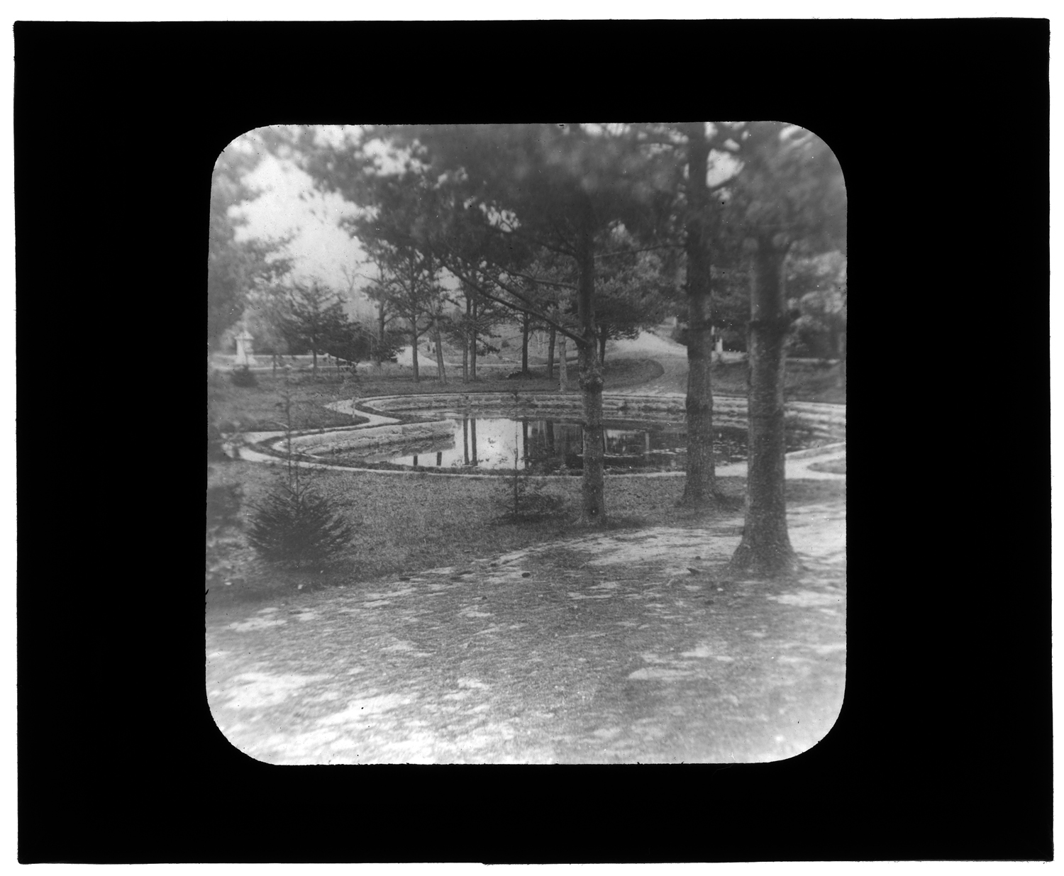
Evergreen Cemetery Pond

Evergreen Cemetery Pond, 1876


84. Evergreen Cemetery Pond, 1876

Naturally a damp, spring spot. When cemetery was planned [in 1853], the spot was drained and curbed as shown. Later the pines were cut down or broke down from winter ice, and the spot was landscaped. Mr. Edgar Reed gave the granite seat on the north side of the pond.


Source: Text from Emily Fuller Drew’s lantern slide card file; image from Jones River Village Historical Society Lantern Slides IC4.  Scanned with LSTA funds through the Massachusetts Board of Library Commissioners and digitized at the Boston Public Library in conjunction with the Digital Commonwealth)


For more, visit the Kingston Public Library, and the Local History Room, and the full blog at piqueoftheweek.wordpress.com.
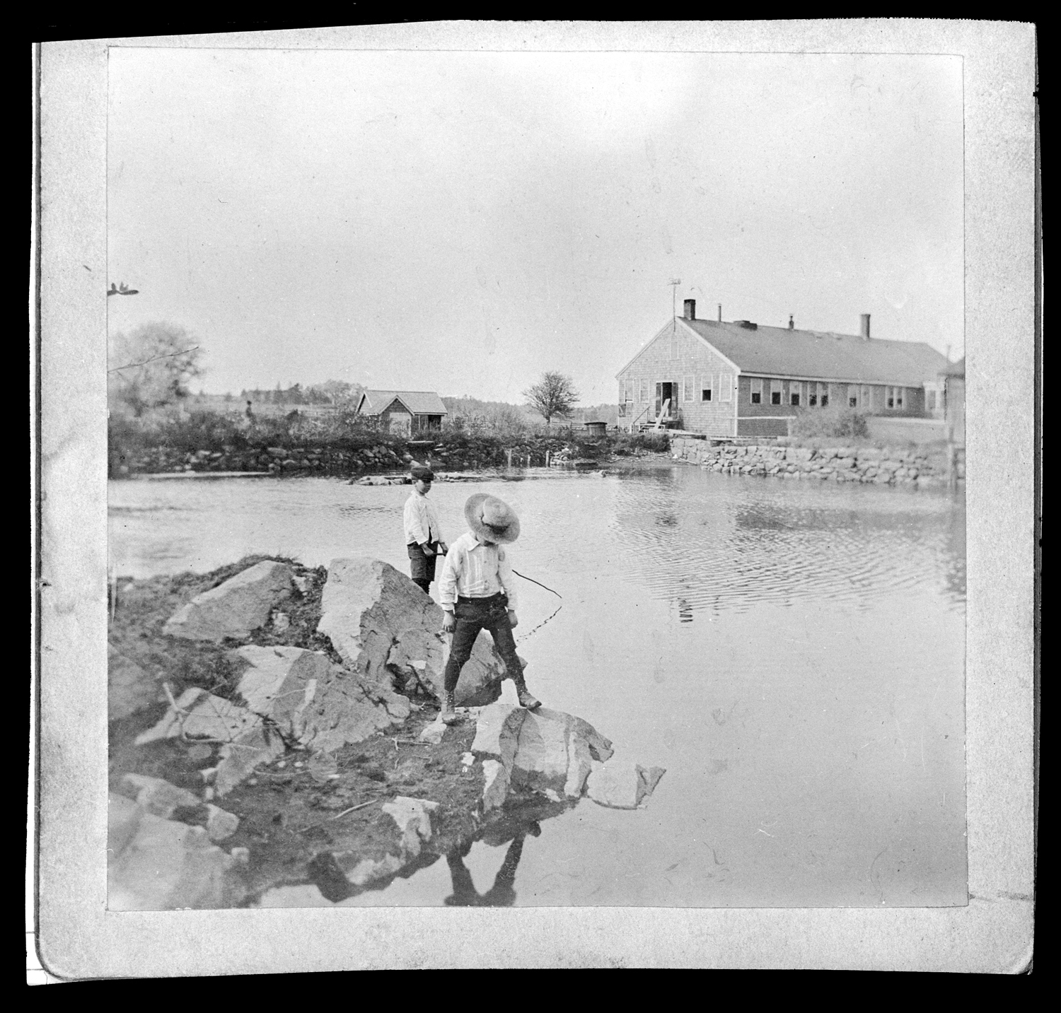
Fishing

Two boys fishing in the millpond of C. Drew & Co., no date

This is Emily Fuller Drew’s copy negative of a panel card probably taken by someone else sometime earlier.  There’s not a lot more information about it: just two boys fishing in the pond that provided water power to C. Drew & Co., the long-lived Kingston tool manufacturer.  (There’s a great deal of information about C. Drew and their tools here).

Who were the boys? Who knows?  That’s not captured on any of the three versions of this image in the Local History Room. Yet, for all the identifying detail lost to history, there’s something painterly about the composition of the two figures and the texture of the image that abstracts it just enough to capture the hazy, nostalgic air of a hot summer afternoon spent fishing.


Sources: Negative from the Emily Fuller Drew Collection MC16 (scan federally funded with LSTA funds through the Massachusetts Board of Library Commissioners and digitized at the Boston Public Library in conjunction with the Digital Commonwealth)

For more, visit the Kingston Public Library, and the Local History Room, and the full blog at piqueoftheweek.wordpress.com.
River

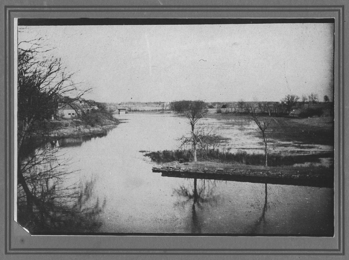
Jones River, no date

Some time ago, an unknown photographer captured this moment of tranquility on the river.  The Old Colony Railroad bridge can be seen in the distance at left, along with at least one of the boathouses that stand between Landing Road and the riverbank. The stone wall at right is the end of the seawall (or river-wall) that runs from the Great Bridge along the property that was once Alexander Holmes’ Jones River Farm.

Let’s take a trip out to the West

They say the coast is the most and the west is the best.

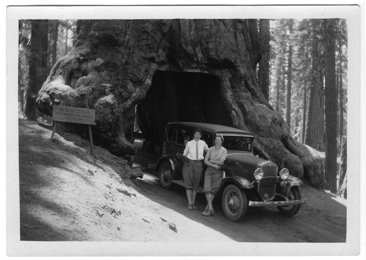
Margaret Holmes and friend at the Tunnel Tree, no date

Here Kingstonian Margaret Holmes and an unidentified friend pose at the Tunnel Tree, a giant sequoia and well-known tourist attraction in Yosemite National Park.


View looking north, no date

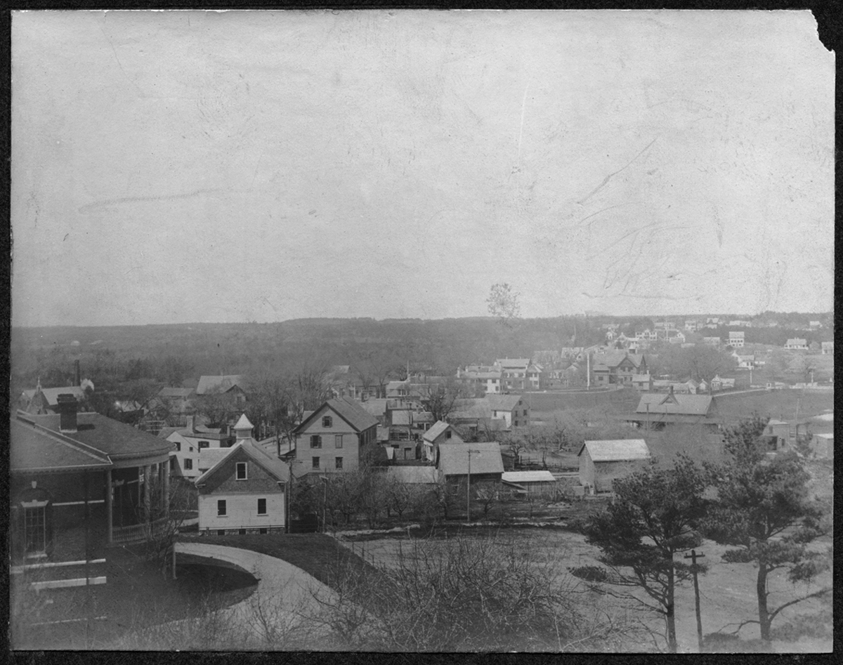
View of Kingston looking north from Horatio Adams' House, no date

From Abram’s Hill, you can see a quite a way.  This view shows the back of the Frederic C. Adams Library at lower left and the houses along Summer Street down through Kingston center.   The Reed Community Building was not yet standing (it would be at lower right), so the photograph dates between 1898 when the Library was built and 1926 when the Reed Building went up.

After fire, Prospect Hill

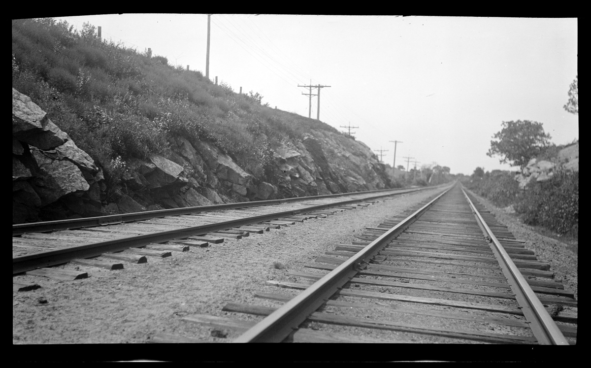
]After fire, Prospect Hill, no dateProspect Hill lies on the north side of Smelt Brook in south-east Kingston.  And Major Bradford’s Town tells us that the devastating fire occurred in July 1908.  Beyond that, there’s not much information on the hill, the fire or this  haunting image.  More later, if more can be found.


New exhibit: An Army to Gather the Crop.


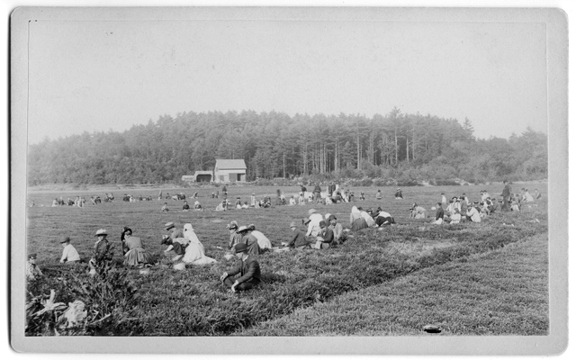
Cranberry harvest, Keith & Adams bog on Summer Street, October 1893

This month’s exhibit is a glimpse into the long history of cranberries in Kingston. Stop by the Library to gather some trivia to show off at Thanksgiving dinner!