Elbridge G. Winsor house at 60 Main Street, c. 1905
In this photo, a group of people (unidentified) appear to be enjoying the shade on a nice, sunny day. One of the women is holding a small dog in her arms. They’re gathered in front of the Elbridge G. Windsor House at 60 Main Street, built around 1860.
Source: Image from the Delano Photograph Collection IC11.
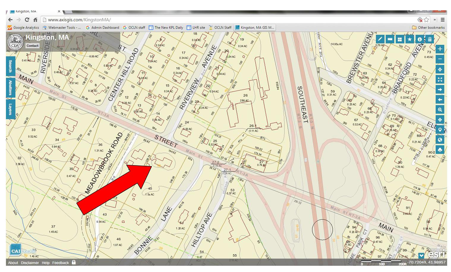
There’s a spot in Kingston just west of Exit 9 on Route 3, elevation about 68 feet, which has been long known as Thomas’ Hill.
Area around Thomas’ Hill from Kingston GIS, 2016
[This screen shot is from the Town’s GIS, which is just amazing. Give it a try!]
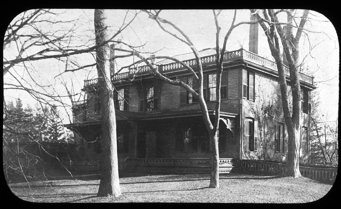
In her 1933 description of Kingston place names, Emily Fuller Drew tells us that
Colonel Thomas’ Hill is located from the Great Bridge up the slope, going south of the River. This hill was named for the Thomas family whose home was located on the hill.
John Thomas House, Thomas Hill, 156 Main Street, circa 1900
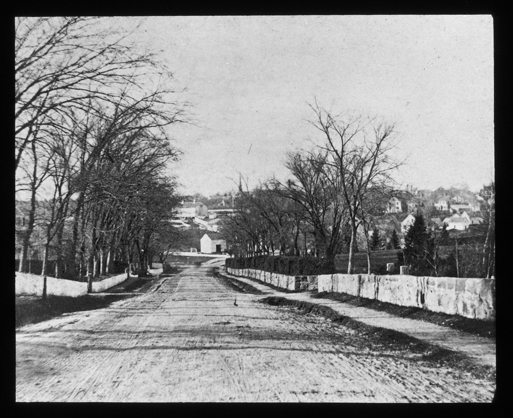
Here’s a view south, up the hill towards the Thomas House, taken from a spot just before the Great Bridge over the Jones River.
Main Street, looking south up Thomas’ Hill, circa 1900
And here are a couple of views looking the opposite way down the hill.
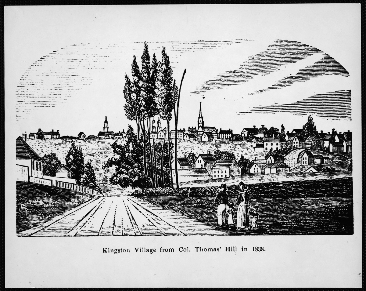
Kingston Village from Col. Thomas’ Hill in 1838, reproduced 1975
[This wood cut is from this book, originally published in 1839.]
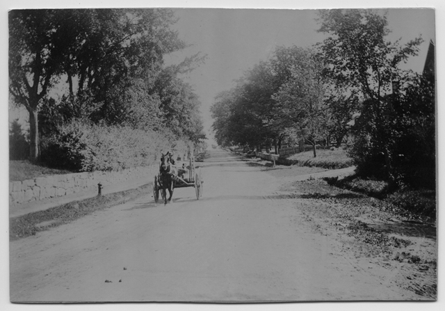
Main Street, looking north down Thomas’ Hill, 1876
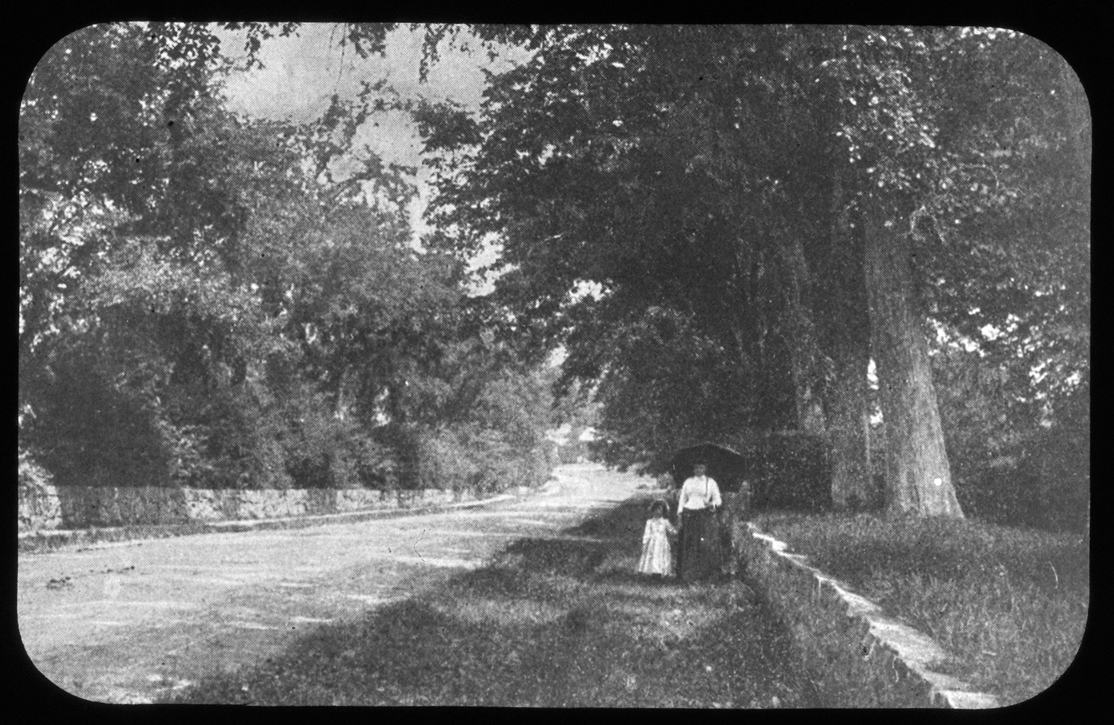
And here’s one of indeterminate direction, but with a nice shady feel to it.
Strolling on Thomas’ Hill, 1890
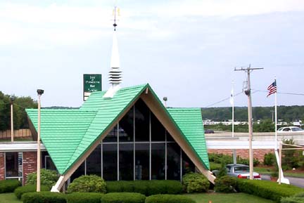
These images all bear the description “Thomas’ Hill,” because that’s what’s it’s been called for quite some time. Now, though, there’s a need to update our shared geographical vocabulary. There’s a whole group of Kingstonians with a completely different point of reference, for whom this area doesn’t relate at all to an 18th century Kingston family or their stately home atop the hill.
Let the historical record now reflect the vernacular alternative: “HoJo Hill.”
Kingston-Plymouth Howard Johnson’s. Photograph courtesy of Dan Holbrook 2003, via highwayhost.org